The Art of Navigating: Understanding Charts and Navigation Tools
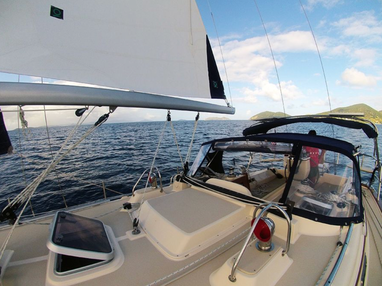
There is a moment, just after leaving the dock in Charlotte Amalie, when the shoreline begins to fall away and the water ahead turns a clear, shifting blue. Navigation starts before sails are trimmed or throttles are set. It begins with preparation. In the U.S. Virgin Islands, where turquoise shallows sit beside deep channels, and trade winds funnel predictably between islands, good navigation is not about complexity. It is about clarity, discipline, and knowing which tools to trust.
For owners and
charter guests alike, navigation sits at the center of a safe and rewarding experience. At
Island Yacht Charters, navigation is treated as both a skill and a system. Charts, electronics, and local knowledge work together, supported by a management team that understands how preparation protects vessels and people.
Why Navigation Still Matters in a Digital Age
Modern yachts arrive equipped with impressive electronics. Chartplotters show depth contours in color. GPS systems track position within meters. Radar paints a clear picture at night or in rain. With all this technology, it is tempting to assume navigation has become automatic.
That assumption causes problems. Electronics support wise decisions, but they do not replace it. Charts still require interpretation. Conditions change. A coral head does not move, but sand shifts, moorings drift, and local traffic patterns evolve. In the Virgin Islands, where many anchorages feature tight approaches and patch reefs, understanding what the screen shows is only half the job.
Experienced skippers treat navigation as an active process. They cross-check digital displays with paper charts, visual bearings, and local guidance. This approach builds confidence, especially for owners who plan to place their vessel into charter service.
Understanding Nautical Charts: Paper and Digital Working Together
Reading a Chart with Purpose
A nautical chart tells a story. Depth soundings, contour lines, navigation aids, and hazard symbols combine into a working map of the sea. In USVI waters, shallow areas often appear in light blue, while deeper channels show darker shades. Reef symbols mark areas that demand respect, particularly near St. John and the outlying cays.
Paper charts remain part of the conversation. They provide a big picture view that screens cannot always match. Planning a route becomes easier when the entire passage sits in front of you. Wind direction, current tendencies, and bail-out points all stand out.
Digital charts offer precision. Zooming in reveals detail needed for close-quarters navigation. Modern systems allow skippers to overlay radar, AIS targets, and weather data, turning the chart into a live planning tool.
Chart Accuracy and Local Updates
Charts are not static documents. Shoaling can occur after storms. Moorings are added or removed. Local notices update this information, and charter operators with boots on the dock tend to hear changes first.
Island Yacht Charters incorporates local updates into fleet systems. Before a yacht leaves the dock, navigation software is current and paper charts are reviewed. That attention reduces surprises and supports smooth passages for both owners and guests.
Electronic Navigation Tools on Modern Yachts
GPS and Chartplotters
Global Positioning Systems form the backbone of modern navigation. Position fixes arrive constantly, displayed against detailed charts. In the Virgin Islands, GPS accuracy helps skippers thread channels between reefs with confidence.
Still, blind trust creates risk. GPS shows where you are, not whether the chart itself is perfect. Smart operators compare depth readings to charted soundings and keep an eye outside the cockpit.
Radar and AIS
Radar earns its keep at night and during squalls. Rain showers move quickly through the islands, reducing visibility without warning. Radar outlines landmasses and vessels, allowing skippers to maintain situational awareness.
Automatic Identification Systems add another layer. Commercial traffic, ferries, and many charter yachts broadcast position and course. Seeing those targets on a chartplotter helps manage busy approaches, especially near St. Thomas harbors.
Depth Sounders and Visual Cues
Depth sounders provide real-time confirmation. In clear water, visual cues matter just as much. Color changes signal depth shifts. Dark patches often indicate coral or rock. Lighter sand suggests safer anchoring ground.
Seasoned navigators combine instruments with eyesight. That habit is taught, reinforced, and expected within well run charter fleets.
Navigation as a Charter Standard
Charter guests bring varying levels of experience. Some arrive with offshore miles behind them. Others hold fresh certifications. A strong navigation framework ensures consistency across that spectrum.
Island Yacht Charters treats navigation as a core operational standard. Before charters begin, guests receive detailed briefings. Routes are discussed. Hazards are highlighted. Recommended anchorages are reviewed with real examples.
Fleet vessels are configured with intuitive navigation layouts. Screens are positioned for easy reference. Systems are tested regularly. These details matter. They reduce confusion and build confidence from the first departure.
Why Navigation Matters for Yacht Owners
Protecting the Asset
For owners placing a yacht into charter service, navigation is not an abstract concern. Groundings, even minor ones, cause damage and downtime. Repairs cost money. Lost charter weeks reduce revenue.
Strong navigation protocols protect the vessel. Clear charts, reliable electronics, and proper instruction all contribute to fewer incidents. Over time, this care preserves value and reputation.
Supporting Charter Revenue
Guests enjoy their time more when they feel confident underway. Smooth passages lead to positive reviews. Positive reviews drive bookings. Navigation competence, though often invisible, supports the business case behind charter ownership.
Island Yacht Charters understands this link. Management invests in training and equipment because it supports owners as much as guests.
Navigation Planning in the U.S. Virgin Islands
Short Passages, Real Decisions
Distances between islands are short. That fact sometimes leads to complacency. A ten-mile sail from St. Thomas to St. John still requires planning. Wind acceleration zones exist near headlands. Ferry traffic crosses common routes. Afternoon squalls appear quickly.
Planning accounts for these realities. Routes are chosen with wind angles in mind. Timing considers traffic and light. Safe anchorages are identified before departure.
Anchorages and Approach Strategy
Many USVI anchorages reward careful approach. Coral heads often guard entrances. Charts mark them, but eyeballs confirm clearance. Approaching with the sun behind you improves visibility. Slowing down buys time.
Island Yacht Charters emphasizes these techniques during briefings. Guests learn how to approach popular spots like Cinnamon Bay or Francis Bay with patience and precision.
Maintenance and Navigation Equipment
Navigation tools only perform when maintained. Salt air corrodes connectors. Screens degrade under sun exposure. Software updates matter.
Fleet management at Island Yacht Charters includes regular inspection of navigation systems. GPS antennas are checked. Radar units are tested. Paper charts are kept current and protected.
This attention reflects a broader philosophy. Maintenance supports navigation, and navigation supports safety. Together, they protect the yacht and the experience.
Navigation Education as Part of the Experience
Navigation does not have to feel intimidating. When taught well, it becomes empowering. Guests who understand their charts engage more deeply with their surroundings. Owners who learn their systems gain confidence in their investment.
Island Yacht Charters encourages questions. Briefings feel conversational, not scripted. Real examples replace abstract warnings. A reef shown on a chart is pointed out on the water. Learning sticks when it connects to place.
A Practical Skill That Defines Seamanship
Navigation sits at the heart of seamanship. It blends planning, observation, and decision making. In the Virgin Islands, where conditions invite exploration, good navigation makes that freedom possible.
For charter guests, it turns a vacation into a confident adventure. For owners, it protects an asset and supports reliable income. For operators like Island Yacht Charters, it reflects a commitment to professionalism that shows in every detail.
Understanding charts and navigation tools is not about mastering technology for its own sake. It is about knowing where you are, where you are going, and how to get there safely. In these clear Caribbean waters, that knowledge transforms time afloat into something lasting.